ท่องแดน "ร้อยเอ็ด" เมือง "สาเกตนคร" ในตำนาน
ℹ️ คำแนะนำ
- 1เปิด Gemini หรือ AI ที่คุณใช้งาน
- 2อัพโหลดภาพ (ถ้ามี)
- 3คัดลอก Prompt โดยคลิกปุ่ม "คัดลอก" ด้านล่าง
⌨️ Prompt Command
คัดลอก
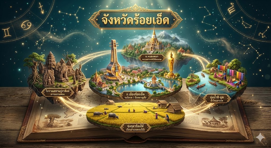
A highly detailed 3D render of a pop-up book diorama displaying a magical map of Roi Et province, Thailand. Isometric view. The entire scene rises from an ancient, open leather-bound book. The background is a deep teal night sky with glowing zodiac lines and magical dust.
Header: Above the center, a ornate golden Thai banner with bold golden text "จังหวัดร้อยเอ็ด".
Structure & Paths: Floating islands connected by glowing golden light paths.
Central Core Island (Mueang District Heart):
Dominating the center is the "Roi Et Tower (Ho Seng Chai)" (หอโหวด ๑๐๑), a tall, modern tower shaped like a traditional 'Wot' musical instrument, glowing with interior lights. Next to it is "Bueng Phlan Chai" (บึงพลาญชัย), a large lake with a detailed shrine on an island connected by bridges. A massive standing golden Buddha statue (Wat Burapha Phiram style) overlooks the city. Label: "อ.เมืองร้อยเอ็ด / หอโหวด / บึงพลาญชัย".
Surrounding Islands (Counter-clockwise from Top):
1. Top Island (The Great Pagoda & Mountains): A massive, intricately detailed pagoda, "Phra Maha Chedi Chai Mongkol" (พระมหาเจดีย์ชัยมงคล), sits atop a lush, misty mountain range. Smaller temples surround it. Label: "อ.หนองพอก / พระมหาเจดีย์ชัยมงคล".
2. Left Island (Ancient Ruins & History): An island featuring ancient Khmer-style stone ruins, specifically "Ku Ka Sing" (กู่กาสิงห์), with detailed carvings and laterite stones. Surrounded by ancient trees. Label: "โบราณสถานกู่กาสิงห์ / อารยธรรมขอม".
3. Bottom Island (The Vast Rice Fields - Thung Kula Rong Hai): A large, flat island representing the vast "Thung Kula Rong Hai" (ทุ่งกุลาร้องไห้) plains. Endless golden rice fields ready for harvest, with miniature water buffaloes, farmers, and traditional rice barns. A small sign points to southern districts like Suwannaphum and Kaset Wisai. Label: "ทุ่งกุลาร้องไห้ (โซนอำเภอตอนใต้)".
4. Right Island (River Life & Culture): An island where the Chi and Mun rivers converge. Features traditional long-tail boats, fishing nets, and a vibrant village displaying traditional "Roi Et Silk" weaving looms and colorful fabrics hanging to dry. Represents districts like Selaphum and Phanom Phrai. Label: "ลุ่มน้ำชี-มูล / ผ้าไหมสาเกต".
Lighting & Texture: Magical rim lighting from above. Textures are realistic miniature: stone, gold leaf, water with reflections, and detailed rice stalks.